
20 August 2026 - Planning
Planning Application: Wenning House, Wennington
Planning application for construction of pergola
Situated in north Lancashire, and bordering North Yorkshire, Tatham parish has a small population, but covers a large area. The south-eastern third is rough moorland, and the rest is mostly pastoral farmland, scattered with farmhouses, cottages, and barns. There are two clusters of dwellings, at Lowgill and Millhouses, and the parish is unusual in having two churches. Tatham also has a railway station (though it’s named after the neighbouring village of Wennington!) and a pub.
There are currently no scheduled meetings
Planning application for construction of pergola
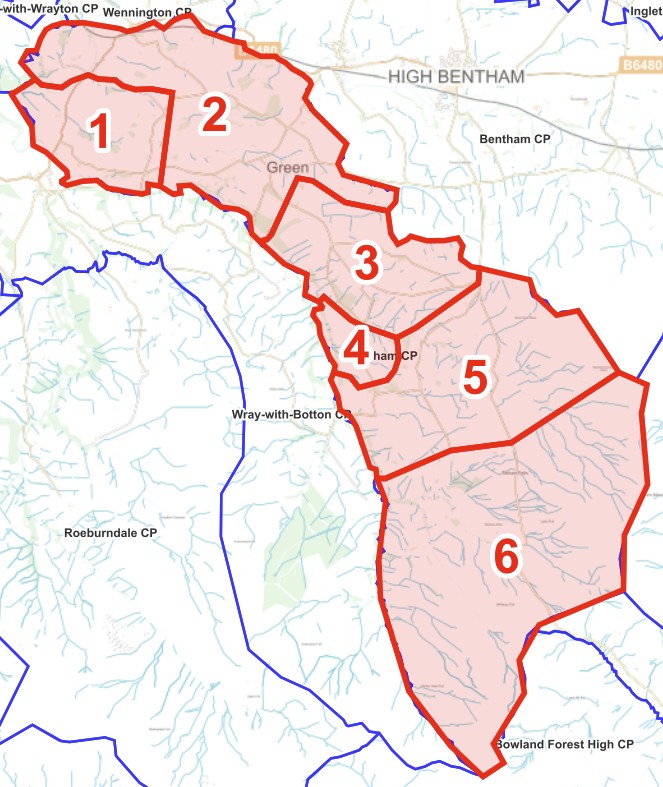
Introduction to Tatham Parish Community Emergency Plan
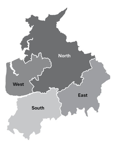
Westminster government decision on Lancashire local government reorganisation
Agricultural determination for the construction of a drainage channel near Millhouses
See the most recent full council meetings including agendas, minutes and supporting documents
Information about current vacancies, the role of a parish councillor, and how to contact the council to find out more
Access to external website storing Minutes no longer held on main website
Information, including sign-up and past issues
Find documents published by the council, including financial accounts.
Find documents published by the council, including data policies, statutory documents and more.
Information about the parish Community Emergency Plan
Council role, planning, bins, roads, footpaths, health, grants, police, emergency info, local links ...